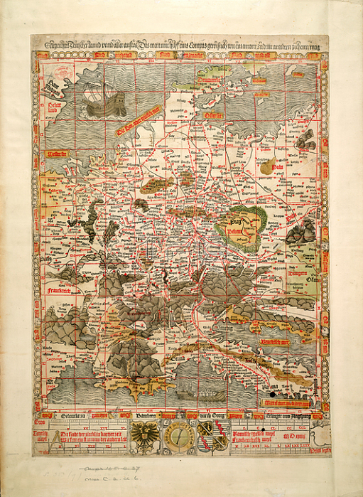
The Holy Roman Empire; A woodcut map; showing the Holy Roman Empire and parts of the adjacent countries.Image taken from Gelegenheit Teutscher Lannd unnd aller anst鰏 Das man mit hilff eins Compas gewislich von einem ortt zu dem andern ziehen mag. [A woodcut map; showing the Holy Roman Empire and parts of the adjacent countries with the principal roads. With a marginal index; an illustration of a compass-dial and scales in four of the different miles then in use in the Empire and neighbouring countries.] Teutsch meyl gemein; L[ = 100 mm].Originally published / produced in Bamberg: Georg Erlinger; 1524.Bamberg: Georg Erlinger; 1524.From: Gelegenheit Teutscher Lannd unnd aller anst鰏 Das.Maps. C. 2. cc. 6; London; British Library.
| px | px | dpi | = | cm | x | cm | = | MB |
Details
Creative#:
TOP20495351
Source:
達志影像
Authorization Type:
RM
Release Information:
須由TPG 完整授權
Model Release:
No
Property Release:
No
Right to Privacy:
No
Same folder images:
Restriction:
Additional permissions needed for non-editorial use.

 Loading