
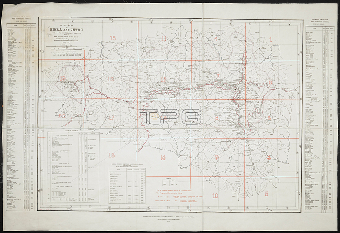
A guide plan of Simla and Jutog.Calcutta; 1875.From: Guide Plan of Simla and Jutog with an Index to the Sheets of the Survey and an alphabetical list of the houses; from the topographical survey executed. 1872-1874. Scale; 4 inches = 1 mile.Maps 57660. (1.) London; British Library.
| px | px | dpi | = | cm | x | cm | = | MB |
Details
Creative#:
TOP20493280
Source:
達志影像
Authorization Type:
RM
Release Information:
須由TPG 完整授權
Model Release:
No
Property Release:
No
Right to Privacy:
No
Same folder images:
Restriction:
Additional permissions needed for non-editorial use.
 Loading