
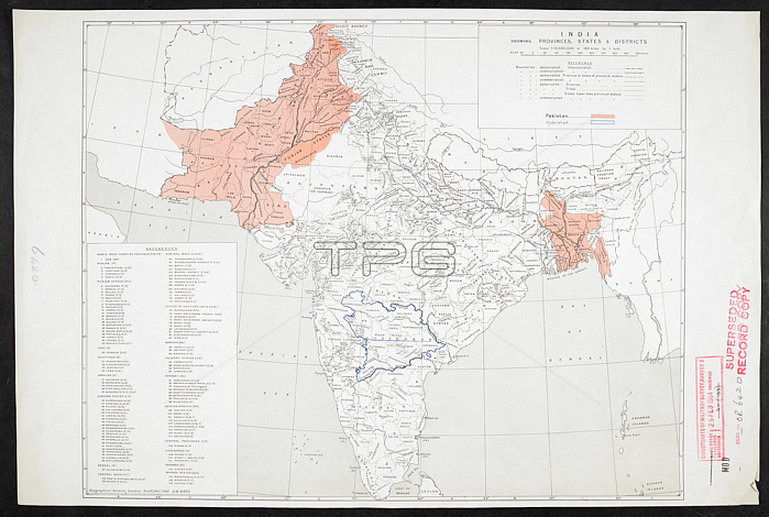
Map of India showing Provinces; States & Districts; dated 1947. 4 maps: col.; Scale 1: 10 000 000.London: War Office; 1947.From: India showing Provinces; States & Districts; OR 6420.Maps MOD Or. 6420London; British Library.
| px | px | dpi | = | cm | x | cm | = | MB |
Details
Creative#:
TOP20493070
Source:
達志影像
Authorization Type:
RM
Release Information:
須由TPG 完整授權
Model Release:
No
Property Release:
No
Right to Privacy:
No
Same folder images:
Restriction:
Additional permissions needed for non-editorial use.
 Loading