
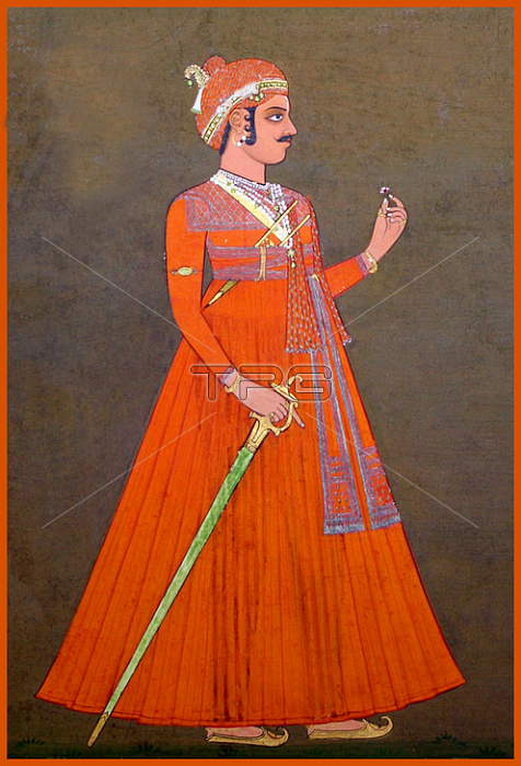
Tonk was a Princely State of India which by treaty in 1817 accepted British suzerainty. Following the Partition of India in 1947; Tonk acceded to the newly independent Union of India. It was located in the region that is now the Tonk district.The founder of the state was Muhammad Amir Khan (1768-1834); an adventurer and military leader of Afghan descent. In 1817; upon submitting to the British East India Company; he received the territory of Tonk and the title of Nawab. While retaining internal autonomy and remaining outside British India; the state came under the supervision of the Rajputana Agency and consisted of six isolated districts. Three of these were under the Rajputana Agency; namely; Tonk; Aligarh (formerly Rampura) and Nimbahera. The other three; Chhabra; Pirawa and Sironj were in the Central India Agency.The total area of the princely state was 2553 sq. mi; with a total population in 1901 of 273;201. The town of Tonk; capital of the state; had a population of 38;759 in that year. The town was surrounded by a wall and boasted a mud fort. It had a high school; the Walter hospital for women; under a matron; and a separate hospital for men.The princely state enjoyed an estimated revenue of ?7;000; however; no tribute was payable to the government of British India. Grain; cotton; opium and hides were the chief products and exports of the state. Two of the outlying tracts of the state were served by two different railways.
| px | px | dpi | = | cm | x | cm | = | MB |
Details
Creative#:
TOP20189195
Source:
達志影像
Authorization Type:
RM
Release Information:
須由TPG 完整授權
Model Release:
No
Property Release:
No
Right to Privacy:
No
Same folder images:
 Loading