
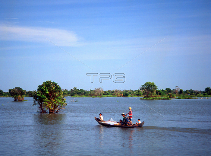
The Tonl?Sap is a vast lake in Cambodia's central northwest; surrounded by a fertile plain. The Sap River runs from the lake's southeastern end to join the Mekong in Phnom Penh; some 100km (63 miles) distant.
During the dry months; roughly between November and May; the lake is at its smallest; though it still covers 2;500 to 3;000sq km (965 to 1;160sq miles). When the rains fall; though; from mid-May through October; a unique hydrographic phenomenon occurs. The rising waters of the Mekong cause the flow of the Sap River to reverse. During this period; the Tonl?Sap increases in surface area; sometimes to well in excess of 10;000sq km (3;860sq miles). At its lowest most of the lake is less than 2m (6.5ft) deep; and can resemble a marsh criss-crossed by navigable channels; but when at its fullest; its depth increases to as much as 14m (45ft); and it gains up to 70km (44 miles) in width.
| px | px | dpi | = | cm | x | cm | = | MB |
Details
Creative#:
TOP20152432
Source:
達志影像
Authorization Type:
RM
Release Information:
須由TPG 完整授權
Model Release:
No
Property Release:
No
Right to Privacy:
No
Same folder images:
 Loading