
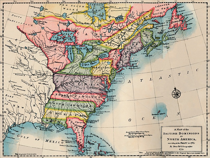
'Map of the British Dominions of North America', 1772, (1904). Artist: Peter Bell.
| px | px | dpi | = | cm | x | cm | = | MB |
Details
Creative#:
TOP19863261
Source:
達志影像
Authorization Type:
RM
Release Information:
須由TPG 完整授權
Model Release:
No
Property Release:
No
Right to Privacy:
No
Same folder images:
blueNorthAmericaEnglandartsmapcountrypinkbookroseBritishlandEnglishcolorcolourcolourfulAtlanticOceanlocationcenturyBritainliteratureconceptdivisiondominion18thcentury1900s20thcenturyEighteenthCenturyThePrintCollectorBritishEmpireimperialismTGNmapCoCassell&CoCassell&MannPrintCollector29CassellandCompanyLtdJSCassell&CompanySocialEnglandHenryDuffTraillTraillHenryDuffHDTraillJSMannPeterBellBellPeter
&&&18th1900s20thAmericaAtlanticBellBellBritainBritishBritishCassellCassellCassellCassellCenturyCoCoCollectorCollector29CompanyCompanyDuffDuffEighteenthEmpireEnglandEnglandEnglishHDHenryHenryJSJSLtdMannMannNorthOceanPeterPeterPrintPrintSocialTGNTheTraillTraillTraillandartsbluebookcenturycenturycenturycolorcolourcolourfulconceptcountrydivisiondominionimperialismlandliteraturelocationmapmappinkrose
 Loading