
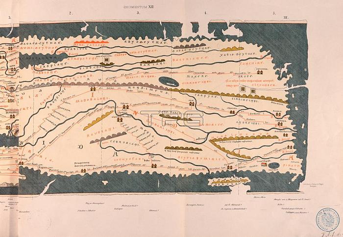
Cartography / World maps.Peutinger table (road map of the Roman Empire; 3rd Century edition; copy from 1264); 12th segment: India.Colour lithograph.From: World map of Castorius; known as Peutinger table; edited by Konrad Miller; Ravensburg (O.Maier) 1888.Berlin; Museum f黵 Kommunikation.
| px | px | dpi | = | cm | x | cm | = | MB |
Details
Creative#:
TOP18049087
Source:
達志影像
Authorization Type:
RM
Release Information:
須由TPG 完整授權
Model Release:
No
Property Release:
No
Right to Privacy:
No
Same folder images:
 Loading