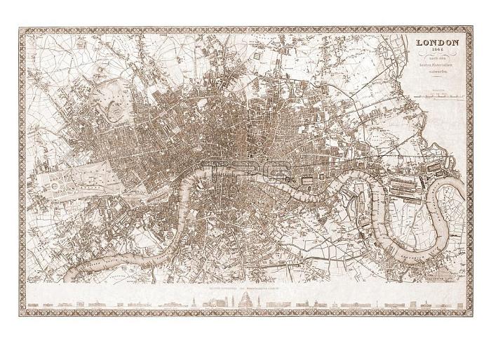
Great Britain; England; London:Map of London; 1845.From: Grosser Hand-Atlas uber alle Theile der Erde in 170170 Karten. Published by J. Meyer. Verlag des Bibliographischen Instituts; Hildburghausen 1860.
| px | px | dpi | = | cm | x | cm | = | MB |
Details
Creative#:
TOP17721787
Source:
達志影像
Authorization Type:
RM
Release Information:
須由TPG 完整授權
Model Release:
No
Property Release:
No
Right to Privacy:
No
Same folder images:

 Loading