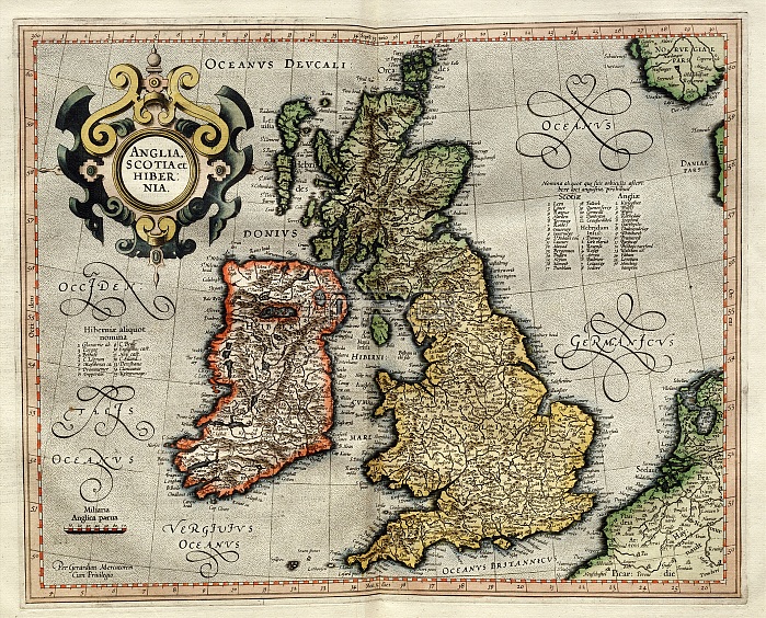
Ireland and Britain, 1595 Mercator atlas. 16th-century Dutch map of Ireland and Britain ('Anglia, Scotia et Hibernia'), with labels and place names in Latin. Seas and oceans named are: Oceanus Occidentalis (Western [Atlantic] Ocean), Oceanus Germanicus (German [North] Sea), Oceanus Deucalidonius (Northern Sea), Oceanus Vergivius (Celtic Sea), Mare Hibernicum (Irish Sea), Oceanus Britannicus (English Channel). The map-maker is Flemish cartographer Gerardus Mercator (1512-1594, named at lower right). This posthumous copy of this map is from 'Atlas Sive Cosmographicae Meditationes de Fabrica Mundi et Fabricati Figura' (Duisburg, 1595).
| px | px | dpi | = | cm | x | cm | = | MB |
Details
Creative#:
TOP16235325
Source:
達志影像
Authorization Type:
RM
Release Information:
須由TPG 完整授權
Model Release:
N/A
Property Release:
N/A
Right to Privacy:
No
Same folder images:

 Loading