
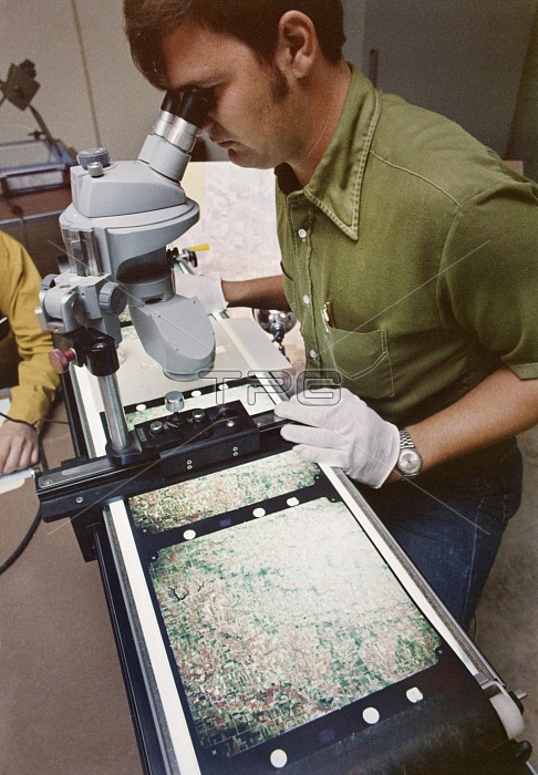
AGRICULTURAL RESEARCH, 1971. /nScientist Thomas Pieper examines the topography of a test segment of terrain, photographed by satellite during the Corn Blight Watch Experiment, conducted by NASA and the U.S. Department of Agriculture. Photographed at Purdue University in Lafayette, Indiana, 1971.
| px | px | dpi | = | cm | x | cm | = | MB |
Details
Creative#:
TOP16192369
Source:
達志影像
Authorization Type:
RM
Release Information:
須由TPG 完整授權
Model Release:
No
Property Release:
No
Right to Privacy:
No
Same folder images:
 Loading