
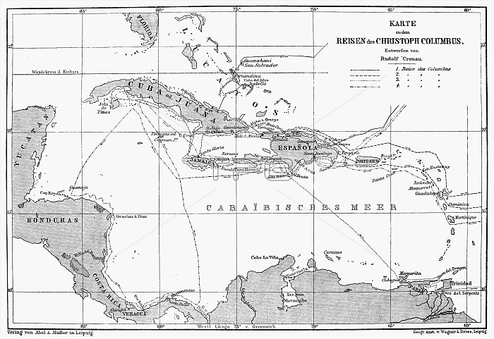
WEST INDIES MAP, c1890. /nA German Map of Cuba, Jamaica and Hispaniola, circa 1890.
| px | px | dpi | = | cm | x | cm | = | MB |
Details
Creative#:
TOP16109710
Source:
達志影像
Authorization Type:
RM
Release Information:
須由TPG 完整授權
Model Release:
No
Property Release:
No
Right to Privacy:
No
Same folder images:
 Loading