
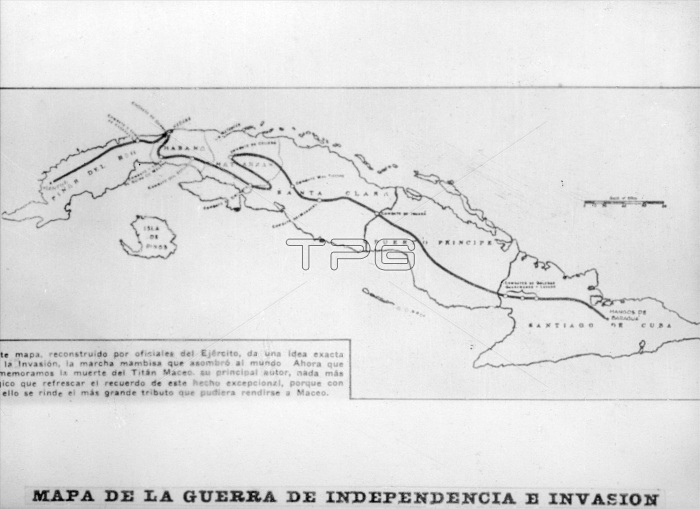
Map of the war of independence and invasion, (1895), 1920s.
| px | px | dpi | = | cm | x | cm | = | MB |
Details
Creative#:
TOP15827223
Source:
達志影像
Authorization Type:
RM
Release Information:
須由TPG 完整授權
Model Release:
No
Property Release:
No
Right to Privacy:
No
Same folder images:
CubaCubancountryislandroutemilitarywarlocationcenturyOUTLINEconcepttwentiesB&WMONOCHROME19thcenturyblack&whiteblackandwhiteB/W1920s20thcenturynineteenthcenturyhistoryThePrintCollectorMantuaNorthandCentralAmericaTGNwarofindependencephotographmapAntonioPrintCollector29cigarcardCubanWarofIndependenceTabacaleraCubanaMaximumAntonioMaceoMaceoLtGeneralAntoniodelaCaridadMaceoyGrajalesAntoniodelaCaridadMaceoyGrajalesJoseAntoniodelaCaridadMaceoyGrajalesBaraguaMaximumGomezGomez
&1920s19th20thAmericaAntonioAntonioAntonioAntonioAntonioB&WB/WBaraguaCaridadCaridadCaridadCentralCollectorCollector29CubaCubanCubanCubanaGeneralGomezGomezGrajalesGrajalesGrajalesIndependenceJoseLtMONOCHROMEMaceoMaceoMaceoMaceoMaceoMantuaMaximumMaximumNorthOUTLINEPrintPrintTGNTabacaleraTheWarandandblackblackcardcenturycenturycenturycenturycigarconceptcountrydededehistoryindependenceislandlalalalocationmapmilitarynineteenthofofphotographroutetwentieswarwarwhitewhiteyyy
 Loading