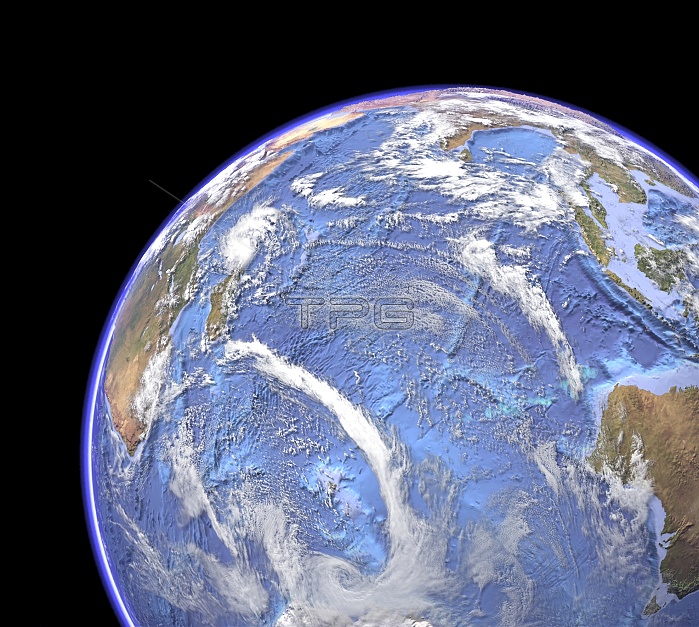
Indian Ocean, sea floor topography and clouds. Computer graphic of the Indian Ocean on an Earth globe, generated using satellite and mapping data. This view shows the contours, peaks and ridges of the sea floor, using bathymetry data. The sea floor is colour-coded by depth (darker blues are deeper). Features include the mid-ocean ridges where the African, Indian, Australian and Antarctic tectonic plates are spreading apart. Also seen is the subduction zone off Indonesia (the Sunda Trench), the Ninety East Ridge (straight line at upper right), and the Kerguelen Plateau (lower centre). Cloud data from the MODIS sensor on NASA's Terra satellite.
| px | px | dpi | = | cm | x | cm | = | MB |
Details
Creative#:
TOP11247359
Source:
達志影像
Authorization Type:
RM
Release Information:
須由TPG 完整授權
Model Release:
No
Property Release:
No
Right to Privacy:
No
Same folder images:

 Loading