
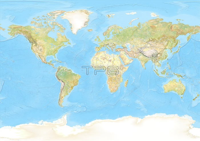
World map. North is at top. Map of the World showing country borders (white lines). Image compiled using Earth satellite imagery and elevation data, combined with ocean shaded relief. Imaged in 2012.
| px | px | dpi | = | cm | x | cm | = | MB |
Details
Creative#:
TOP10392499
Source:
達志影像
Authorization Type:
RM
Release Information:
須由TPG 完整授權
Model Release:
No
Property Release:
No
Right to Privacy:
No
Same folder images:
201221STCENTURYBIRDSEYEVIEWBIRDS-EYEVIEWBORDERBORDERSBOUNDARIESBOUNDARYCARTOGRAPHYCOUNTRIESCOUNTRYEARTHOBSERVATIONENVIRONMENTENVIRONMENTALFROMABOVEFROMSPACEFRONTIERFRONTIERSGEOGRAPHICALGEOGRAPHYLANDMAPNATIONNATIONSELEVATIONELEVATIONSRELIEFOCEANOCEANSSEASLANDMASSLANDMASSESCONTINENTCONTINENTSWORLDNORTHAMERICASOUTHAMERICAAFRICAASIAAUSTRALASIAOCEANIAPACIFICATLANTICINDIANCHINASEAANTARCTICAANTARCTICGREENLANDSATELLITESATELLITEIMAGETOPOGRAPHICTOPOGRAPHYEUROPEEUROPEANSEAOCEANSHADEDRELIEFELEVATIONDATA
201221STABOVEAFRICAAMERICAAMERICAANTARCTICANTARCTICAASIAATLANTICAUSTRALASIABIRDSBIRDS-EYEBORDERBORDERSBOUNDARIESBOUNDARYCARTOGRAPHYCENTURYCHINACONTINENTCONTINENTSCOUNTRIESCOUNTRYDATAEARTHELEVATIONELEVATIONELEVATIONSENVIRONMENTENVIRONMENTALEUROPEEUROPEANEYEFROMFROMFRONTIERFRONTIERSGEOGRAPHICALGEOGRAPHYGREENLANDIMAGEINDIANLANDLANDMASSLANDMASSESMAPNATIONNATIONSNORTHOBSERVATIONOCEANOCEANOCEANIAOCEANSPACIFICRELIEFRELIEFSATELLITESATELLITESEASEASEASSHADEDSOUTHSPACETOPOGRAPHICTOPOGRAPHYVIEWVIEWWORLD
 Loading