
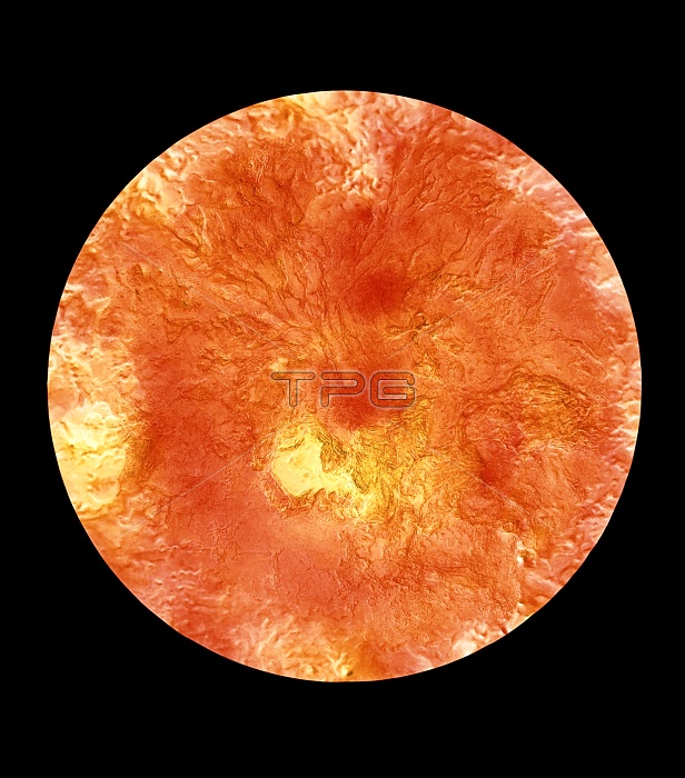
Colour-coded topographic map of the region surrounding Venus' north pole. The view is centred on the pole and extends down to a latitude of 20 degrees north. Yellow areas represent high ground & orange areas low ground. The yellow region just below centre is Ishtar Terra and contains Lakshmi Planum (smooth area at left) and the Maxwell Montes (rough terrain at right), the highest mountains on Venus. The rope-like ridges at upper left are thought to be tectonic in origin. The map was compiled using data from the Soviet Venera 15 & 16 spacecraft, the American Pioneer Venus spacecraft and the Arecibo radio telescope in Puerto Rico.
| px | px | dpi | = | cm | x | cm | = | MB |
Details
Creative#:
TOP10237549
Source:
達志影像
Authorization Type:
RM
Release Information:
須由TPG 完整授權
Model Release:
N/A
Property Release:
N/A
Right to Privacy:
No
Same folder images:
 Loading