
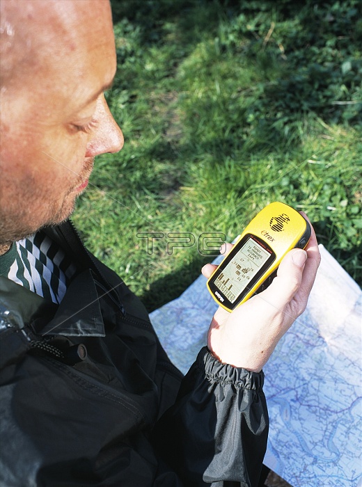
MODEL RELEASED. Global positioning system (GPS). Man using a hand-held GPS receiver and a map to navigate. The GPS system utilizes a network of 24 satellites in precision orbits around the Earth. Each satellite transmits radio signals that can be detected by this receiver. Three signals allow calculation of the user's latitude and longitude. A fourth signal allows altitude calculations. Time data transmissions allow local time calculations.
| px | px | dpi | = | cm | x | cm | = | MB |
Details
Creative#:
TOP10231874
Source:
達志影像
Authorization Type:
RM
Release Information:
須由TPG 完整授權
Model Release:
YES
Property Release:
N/A
Right to Privacy:
No
Same folder images:
 Loading