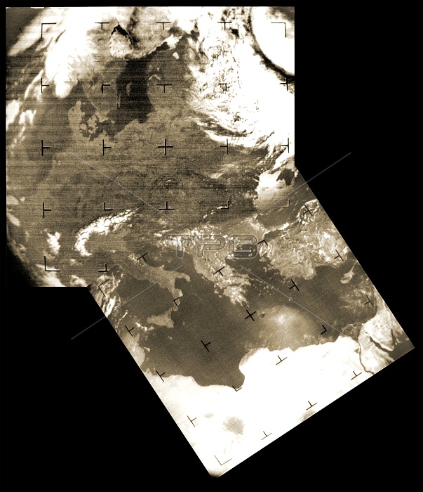
Early weather satellite images of Europe. These images are from the TIROS (Television and Infrared Observation Satellite) programme (1960-1966), and the Nimbus satellites (1964-1978). The upper left image is from a TIROS satellite. The lower right image is from a Nimbus satellite. These satellites were the first in a long succession of various weather satellites. Modern weather satellites gather a much wider range of data than these early weather satellites did. The TIROS satellites used television cameras to monitor cloud patterns.
| px | px | dpi | = | cm | x | cm | = | MB |
Details
Creative#:
TOP10226320
Source:
達志影像
Authorization Type:
RM
Release Information:
須由TPG 完整授權
Model Release:
N/A
Property Release:
N/A
Right to Privacy:
No
Same folder images:

 Loading