
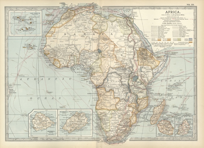
Map of colonial Africa, with insets of Ascension Island, St. Helena Island, Reunion, Mauritius, and Cape Verde Islands, circa 1902, from the 10th edition of Encyclopaedia Britannica.
| px | px | dpi | = | cm | x | cm | = | MB |
Details
Creative#:
TOP09069795
Source:
達志影像
Authorization Type:
RM
Release Information:
須由TPG 完整授權
Model Release:
No
Property Release:
No
Right to Privacy:
No
Same folder images:
NoPeopleHorizontalHistoryPhysicalGeographySeaCoastlineMapThePastWesternScriptGuidance190219thCenturyStyleIllustrationTechniqueCartographyIllustrationAndPaintingOld-FashionedNavigationalEquipmentExplorationBoundaryGeographicalBorderMeridianAfricaAscensionIslandSt.HelenaIslandReunionCapeVerdeIslandsMauritiusContinent
190219thAfricaAndAscensionBorderBoundaryCapeCartographyCenturyCoastlineContinentEquipmentExplorationGeographicalGeographyGuidanceHelenaHistoryHorizontalIllustrationIllustrationIslandIslandIslandsMapMauritiusMeridianNavigationalNoOld-FashionedPaintingPastPeoplePhysicalReunionScriptSeaSt.StyleTechniqueTheVerdeWestern
 Loading