
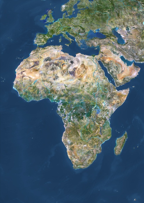
Africa With Country Borders And Major Rivers, True Colour Satellite Image. True colour satellite image of Africa with country borders and major rivers. This image in Lambert Azimuthal Equal Area projection was compiled from data acquired by LANDSAT 5 & 7 satellites.
| px | px | dpi | = | cm | x | cm | = | MB |
Details
Creative#:
TOP09062520
Source:
達志影像
Authorization Type:
RM
Release Information:
須由TPG 完整授權
Model Release:
NO
Property Release:
NO
Right to Privacy:
No
Same folder images:
 Loading