
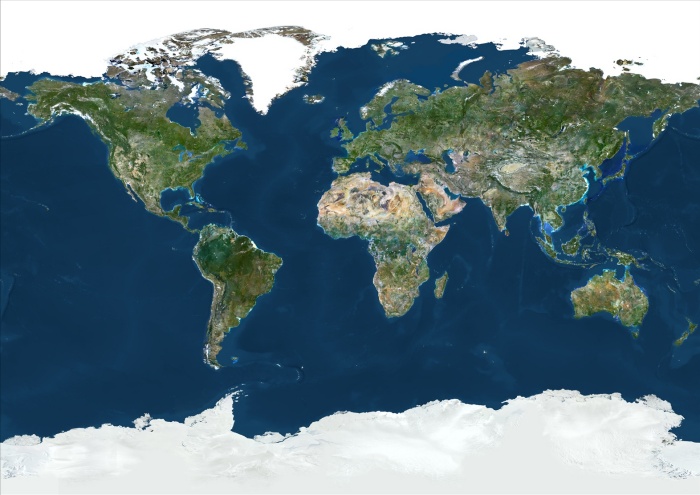
World With Arctic Ice Pack In Geographic Projection, True Colour Satellite Image. True colour cloudless satellite image of the whole Earth, with Arctiv pack ice, shown in geographic projection. This image was compiled from data acquired by LANDSAT 5 & 7 satellites.
| px | px | dpi | = | cm | x | cm | = | MB |
Details
Creative#:
TOP09061608
Source:
達志影像
Authorization Type:
RM
Release Information:
須由TPG 完整授權
Model Release:
NO
Property Release:
NO
Right to Privacy:
No
Same folder images:
 Loading