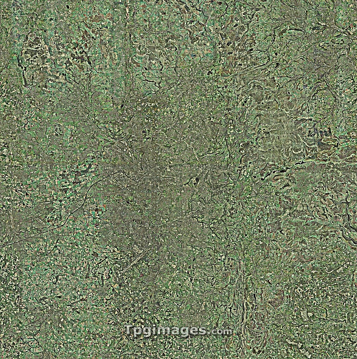
Manchester and environs, aerial view. North is at top. Manchester, one of the largest cities in the UK, is at centre, surrounded by the M60 ring motorway. Manchester, and the surrounding cities and urban areas in this image, comprise the central part of the Greater Manchester Urban Area. The Manchester Ship Canal at centre left leads to the Mersey Estuary (not seen). Reservoirs (centre right) are located in the Peak District. Manchester Airport is at lower left. This image is around 40 kilometres across.
| px | px | dpi | = | cm | x | cm | = | MB |
Details
Creative#:
TOP07425827
Source:
達志影像
Authorization Type:
RM
Release Information:
須由TPG 完整授權
Model Release:
NO
Property Release:
NO
Right to Privacy:
No
Same folder images:
greatermanchesterurbanareamanchestermanchestershipcanalm60salfordtraffordmanchesterairportcitylandcanalreservoirmotorwayringroadrivereuropenorth-eastenglandmidlandsenglandbritaingreatermanchestergeographyearthobservationurbangeographyaerialphotographymontagebird'seyeviewbritishcitiesconurbationenglishenvironseuropeanfieldfieldsgeographicalirwellmedlockmerseymotorwayspeakdistrictreservoirsriversroadssuburbansurroundingstowntownsunitedkingdomurban
aerialairportareabird'sbritainbritishcanalcanalcitiescityconurbationdistrictearthenglandenglandenglishenvironseuropeeuropeaneyefieldfieldsgeographicalgeographygeographygreatergreaterirwellkingdomlandm60manchestermanchestermanchestermanchestermanchestermedlockmerseymidlandsmontagemotorwaymotorwaysnorth-eastobservationpeakphotographyreservoirreservoirsringriverriversroadroadssalfordshipsuburbansurroundingstowntownstraffordunitedurbanurbanurbanview

 Loading