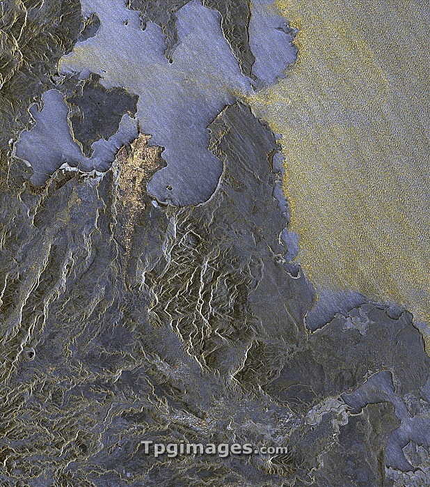
Madagascan bay, satellite radar image. North is at top. The radar highlights the difference between the calm waters of the Baie de Diego (blue, upper left), and the waves (yellow, upper right) of the Indian Ocean. On the shores of the bay is Antsiranana (yellow), the provincial capital and port. This image, obtained on 24 June 2010 and showing an area around 30 kilometres across, was among the first obtained by the TanDEM-X satellite. TanDEM-X (TerraSAR-X add-on for Digital Elevation Measurement) is a European satellite that uses X-band (microwave) synthetic aperture radar (SAR) to observe the Earth from space.
| px | px | dpi | = | cm | x | cm | = | MB |
Details
Creative#:
TOP07422258
Source:
達志影像
Authorization Type:
RM
Release Information:
須由TPG 完整授權
Model Release:
NO
Property Release:
NO
Right to Privacy:
No
Same folder images:

 Loading