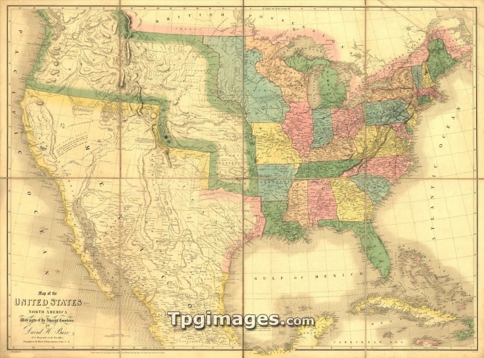
1839 map showing US-Mexican boundary before the Mexican War and US annexation of land that is now US states of California, Arizona, New Mexico, Nevada, Colorado, Utah and Texas.
| px | px | dpi | = | cm | x | cm | = | MB |
Details
Creative#:
TOP07369844
Source:
達志影像
Authorization Type:
RM
Release Information:
須由TPG 完整授權
Model Release:
NO
Property Release:
NO
Right to Privacy:
No
Same folder images:

 Loading