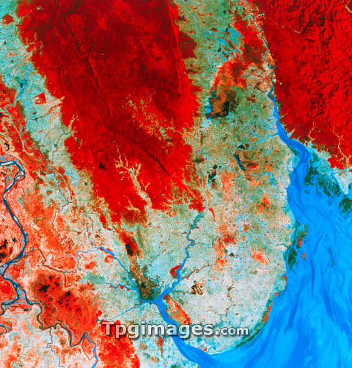
Rangoon. Infrared satellite image of Rangoon (also called Yangon), capital city of Burma (Myanmar). North is at top. In the infrared range lush vegetation is red, water is blue/black, urban areas are light blue/grey and bare ground is grey. Rangoon (at lower centre) lies on the Irrawaddy delta, the most fertile region of Burma. Rivers seen here include the Irrawaddy (lower left), Rangoon (bottom centre) and Sittang (upper right). The Gulf of Martaban, part of the Andaman Sea, is in the south-east. The Pegu Yoma hills are at upper left. Image taken by an American Landsat satellite in January, during the area's dry season.
| px | px | dpi | = | cm | x | cm | = | MB |
Details
Creative#:
TOP03209465
Source:
達志影像
Authorization Type:
RM
Release Information:
須由TPG 完整授權
Model Release:
N/A
Property Release:
N/A
Right to Privacy:
No
Same folder images:

 Loading