
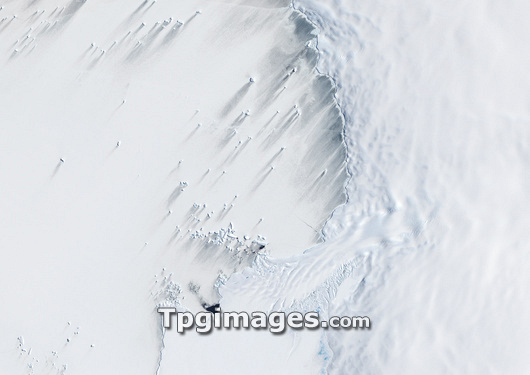
Pine Island Bay. Satellite image of the Antarctic ice sheet at Pine Island Bay, on the coast of the Amundsen Sea (left) in western Antarctica. The black line delimits the edge of the ice shelf.
| px | px | dpi | = | cm | x | cm | = | MB |
Details
Creative#:
TOP03206988
Source:
達志影像
Authorization Type:
RM
Release Information:
須由TPG 完整授權
Model Release:
N/A
Property Release:
N/A
Right to Privacy:
No
Same folder images:
 Loading